
Skip to content
Brighton Antique Prints and MapsBrighton Antique Prints and Maps
  • CURRENCY

    WOOCS 2.1.5
  • VIEW CART
  • Catalogue
  • Home
  • Catalogue
    • Antique Maps
    • Antique Prints
    • Books & Gov’t Reports
    • Manuscript Documents
  • Recent Arrivals
  • About
  • FAQ
  • Register Interests
  • Contact Us
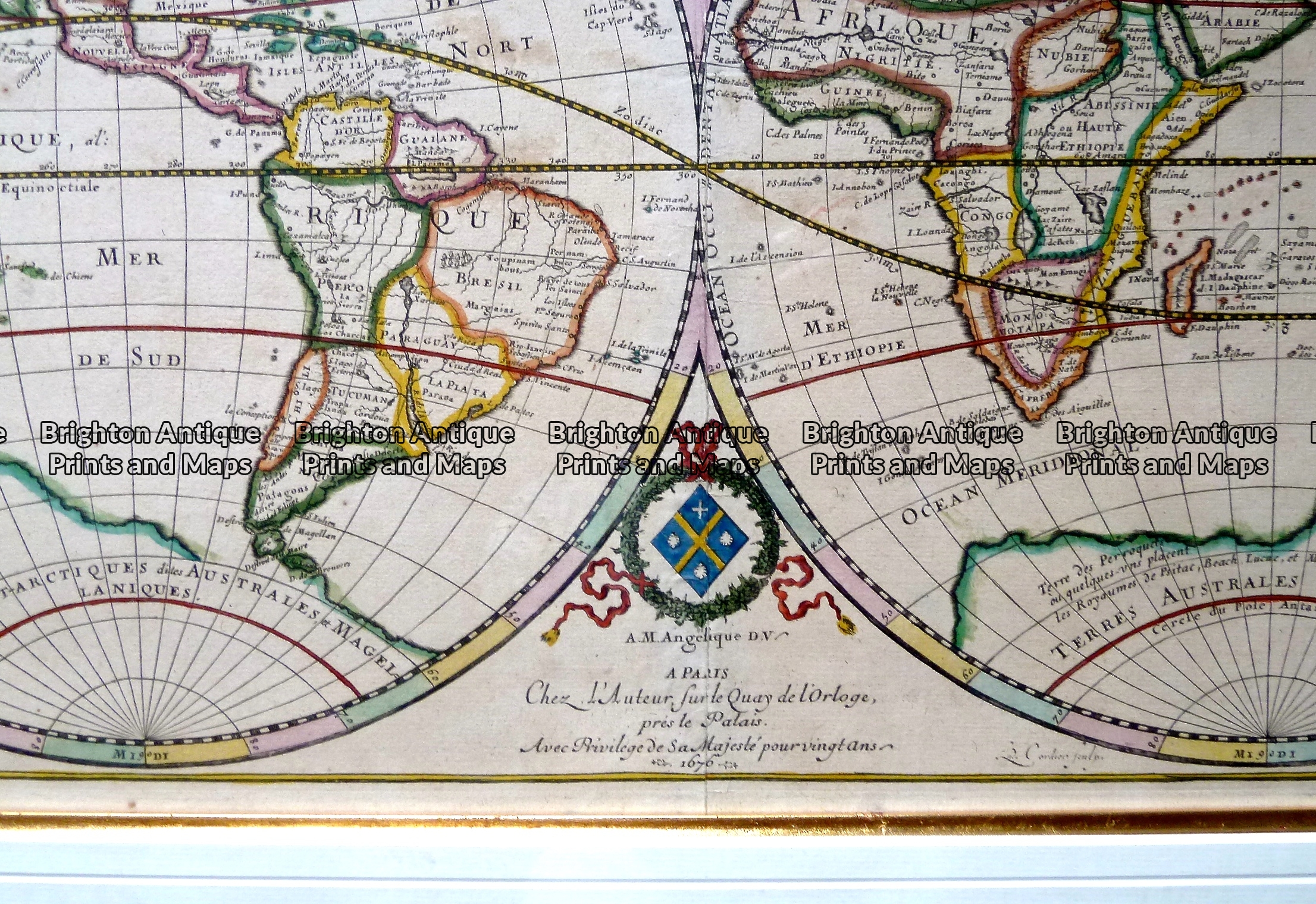
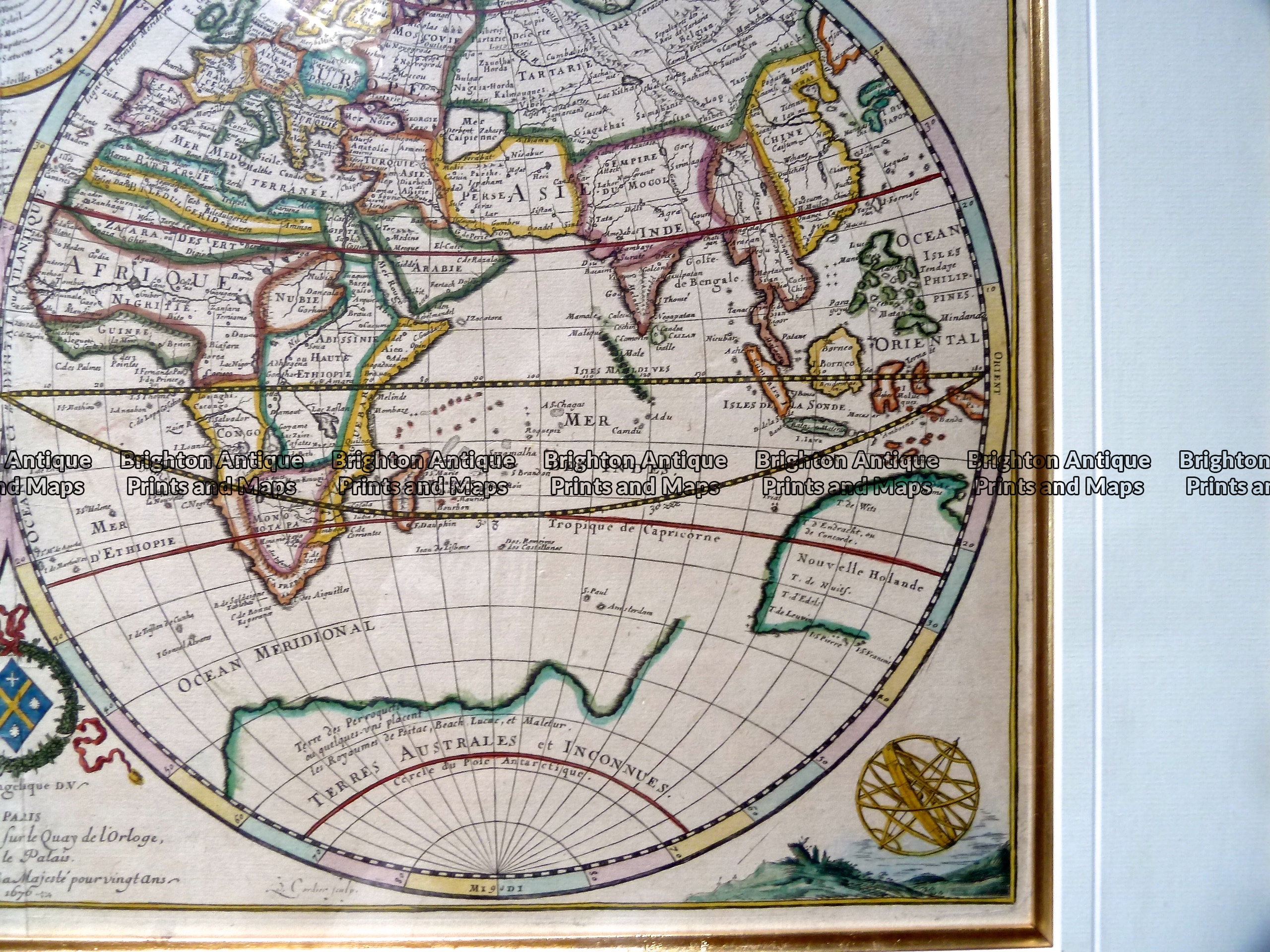
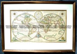
Antique map -  World double hemisphere by Duval c.1669  Ref:  889-001
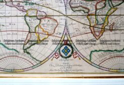
Antique map -  World double hemisphere by Duval c.1669  Ref:  889-001 - Image 2
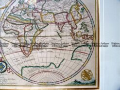
Antique map -  World double hemisphere by Duval c.1669  Ref:  889-001 - Image 3
Antique map -  World double hemisphere by Duval c.1669  Ref:  889-001
Antique map -  World double hemisphere by Duval c.1669  Ref:  889-001 - Image 2
Antique map -  World double hemisphere by Duval c.1669  Ref:  889-001 - Image 3
Home / Antique Maps / World / World and Hemispheres
  • 16-253 - Description of the Earth - Dunn

Antique map – World double hemisphere by Duval c.1669 Ref: 889-001

  • 16-253 - Description of the Earth - Dunn

Category: World and Hemispheres
  • 16-253 - Description of the Earth - Dunn
Product Categories
  • Antique Maps
    • World
      • World and Hemispheres
      • Antarctica & Arctic
      • Thematic
      • Celestial
    • Australia & Pacific
    • Britain and Ireland
    • Europe
    • Asia
    • North America
    • South America
    • Africa
    • City Street Maps
    • Geological maps
    • Tallis
  • Antique Prints
  • Books & Gov't Reports
  • Manuscript Documents
  • Description
  • Reviews (0)

Planisphere, ou Carte Generale du Monde by Pierre Duval c.1676

This rare double-hemisphere map published in Paris and dated 1676 has several interesting geographic features. Please note a distorted and incomplete coastline of Australia. Also, the presence of Terra Australis Incognita, the great southern continent. Cook proved 100 years later that it does not exist. Also, California as an island, an error in mapping that lasted a short while in the seventeenth century – earlier and later maps correctly show Baja as a Peninsula. The Great Lakes are shown open-ended to the West. Surrounding the hemispheres are diagrams showing the planetary orbits and the ancient and modern names of the winds, as well as a terrestrial globe and an armillary sphere.

Hand coloured copperplate engraving. Plate size is approximately 60cm X 34cm. The outside dimensions of the frame are approximately 80cm X 55cm . Duval was geographer to the King of France and a nephew of Nicolas Sanson.
Reviews

There are no reviews yet.

Be the first to review “Antique map – World double hemisphere by Duval c.1669 Ref: 889-001” Cancel reply

You must be logged in to post a review.

These may also be of interest

2-163  World in ancient times by Wilkinson c.1830

Antique Map 2-163 World in ancient times by Wilkinson c.1830

$150.00
3-390 World - Distribution of Animals

Antique Map 3-390 World – Distribution of Animals

$85.00
Antique map - The World c.1894  Ref# 232-891

Antique map – The World c.1894 Ref# 232-891

$125.00
Antique Print Antique Map 230-602  Australia and Asia - Indian Ocean shipping routes  c.1950

Antique Print Antique Map 230-602 Australia and Asia – Indian Ocean shipping routes c.1950

$175.00
© 2026 BRIGHTON ANTIQUE PRINTS AND MAPS. ALL RIGHTS RESERVED | Website by Blaze Online Credit Card
Visa
PayPal
Stripe
MasterCard
Cash On Delivery
  • Home
  • Catalogue
    • Antique Maps
    • Antique Prints
    • Books & Gov’t Reports
    • Manuscript Documents
  • Recent Arrivals
  • About
  • FAQ
  • Register Interests
  • Contact Us
  • View Cart

Sending...