CURRENCY
$625.00
Nouvelle Carte de L&’;Angleterre by Chatelain c.1719
Hand coloured copperplate engraving 63cm X 47cm Condition A+
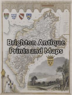
Antique Map 4-155 – England – Cumberland Moule – circa 1840 Hand coloured steel engraving 19cm X 26cm Condition A+
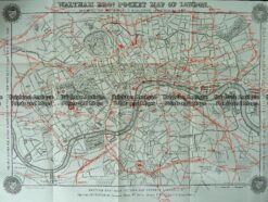
Antique Map 230-209 Railway map of London c.1880
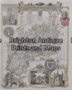
Antique Map 5 – 163 – England – Gloucestershire Moule – circa 1840 Hand coloured steel engraving 19cm X 26cm Condition A+
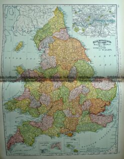
Antique Map 233-230 England by Rand McNally c.1894