CURRENCY
Showing 1507–1868 of 1868 resultsSorted by price: high to low
Antique Map Corinella / Mornington 1948
Antique Map Corinella (M) / Mornington 1948
Antique Map Colac Colac, Camperdown, Mortlake, Terang
Antique Map Chiltern (M) / Bogong 1929
Antique Map Chelsea (M) / Bourke 1940
Antique Map Castlemaine (M) / Talbot 1942
Antique Map Castle Donnington / Tatchera 1960
Antique Map Carngham / Rippon & Grenvil 1938
Antique Map Carngham / Grenville 1937
Antique Map Camberwell / Bourke 1938
Antique Map Bylands / Dalhousie Bourke 1927
Antique Map Buninyong (M) / Grant 1958
Antique Map Bulla Bulla / Bourke 1959
Antique Map Broadmeadow (M) / Bourke 1936
Antique Map Boorolite / Wonnangatta 1926
Antique Map Boole Poole / Tanjil 1965
Antique Map Blackwood (M) / Bourke 1941
Antique Map Bittern / Mornington 1953
Antique Map Bittern (M) / Mornington 1950
Antique Map Berwick / Mornington 1960
Antique Map Berwick / Mornington 1923
Antique Map Berwick (M) / Mornington 1934
Antique Map Berwick Berwick, Westernport, Korumburra, Warrigul, Leongatha (folded)
Antique Map Benalla / Delatite Moira 1953
Antique Map Benalla (M) / Delatite Moira 1932
Antique Map Bellarine / Grant 1952
Antique Map Bellarine (M) / Grant 1952
Antique Map Beaufort / Ripon 1958
Antique Map Barrarbool / Grant 1946
Antique Map Balmattum / Delatite Moira 1953
Antique Map Balloong / Buln Buln 1924
Antique Map Ballarat / Grenville 1932
Antique Map Ballarat / Grenville 1928
Antique Map Ballarat / Grenville 1924
Ballarat (M) / Grenville 1956
Ballarat (M) / Grenville 1931
Ballarat Ballarat, Lake Burrumbeet, Linton (folded)
Antique Map Ballan Sunbury Meredith and Western suburbs (folded)
Antique Map Ballan Ballan, Bacchus Marsh, Werribee River (folded)
Antique Map Ballaarat Cardigan / Grenville 1940
Antique Map Bairnsdale / Tanjil 1953
Antique Map Avenel / Delatite Moira 1954
Antique Map Avenel / Delatite Moira 1952
Antique Map Avenel / Delatite Anglesey 1954
Antique Map Ararat (M) / Ripon 1944
Anglesey / Anglesey 1958
Anglesea – Anglesea, Torquay, Aireys Inlet (on Web)
Alberton / Mornington 1936
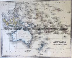
Antique Map 3-515 – Australasia and Pacific – set of seven gores from Indian Ocean to South America Coronelli – circa 1690s Forms part of Coronellis 110cm Globe. – Size: Each of the seven gores measures approx 27cm x 46cm. – Condition: A+
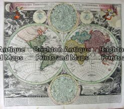
Antique Map 16-223 – World – Planiglobii Terrastris and Continents by Homann – circa 1720
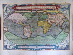
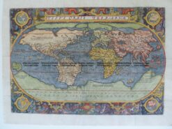
Antique Map 3-188 World – Typus Orbis Terrarum by Ortelius c.1579
Antique Map 3-788 Australia by Emanuel Bowen
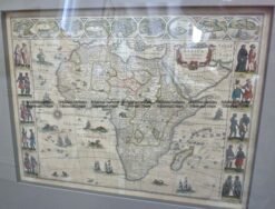
Antique Map 40-16 Africa – Africae Nova Descriptio by Blaeu c.1630
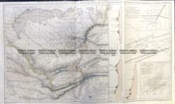
Antique Map 3-522 Flinders chart of South Australia c.1814
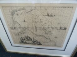
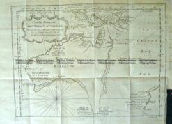
Antique Map 40-20 Africa – Indiarum Orientalis a Promontorio . . . by de Wit c.1675
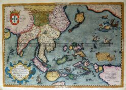
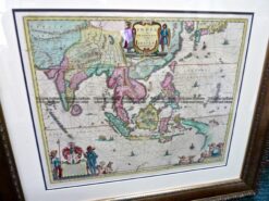
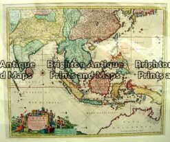
Antique Map 2-148 Indiae Orientalis Insularum by Ortelius c.1588
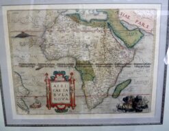
Antique Map 40-17 Africa – Africae Tabula Nova by Ortelius c.1570
Antique Map 2-139 India Orientalis by Blaeu c.1635
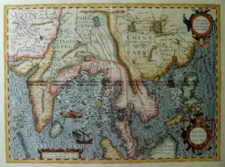
Antique Map 2-147 India Orientalis by Mercator/Hodius c.1623
Antique Map 3-787 Australia by Bellin French edition
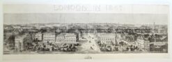
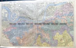
Antique Map 4-184 London panorama 1842
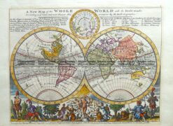
Antique Map 16-228 – World – Eastern & Western Hemispheres Pair of maps Pinkerton – circa 1813 Hand coloured engraving 50cm X 50cm Condition A+
Antique Map 16-230 – Northern & Southern Hemispheres Pair of maps Pinkerton – circa 1813 Hand coloured engraving 50cm X 50cm Condition A+
Antique Map 3-820 World by Emanuel Bowen c.1744
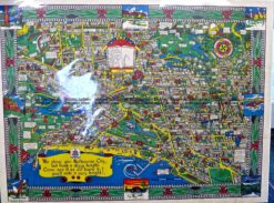
Antique Map 14-226 – Mornington Peninsula Meikle – circa 1854 Colour wash lithograph 50cm X 60cm Condition A+
Antique Map 5-172 Oost Zee by van Loon/Jansson c.1655
Antique Map 5-045 – Romania Ortelius – circa 1580 Hand coloured copperplate engraving 50cm X 36cm Condition A+
Antique Map 3-821 Australia by Canzler c.1795
Antique Map 2-138 Indiae Orientalis Nova Descriptio by Jansson c.1641
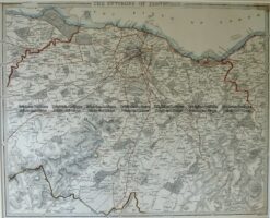
Antique Map 5-037 – London and its Enviroment B Davies – circa 1854 Hand coloured steel engraving 70cm X 70cm Condition A+
Antique Map 5-049 – Ancient Italy Delisle – circa 1715 Copperplate engraving 63cm X 49cm Condition A+
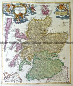
Antique Map 4-187 Scotland – Regnum Scotiae by Homann c.1720
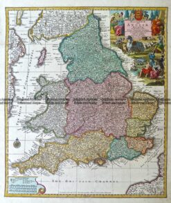
Antique Map 4-183 England – Britanniae Sive Angliae Regnum by Seutter c.1740
Antique Map 3-793 Australia by Thomson
Antique Map 40-19 Africa – Aethiopia Superior vel Interior by Blaeu c.1640
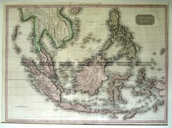
Antique Map 2-135 East India Isles by Pinkerton c.1815
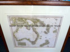
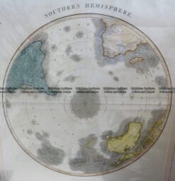
Antique Map 3-400 Southern Hemisphere – South Pole by Thomson c.1816
Antique Map 16-234 – World Anon – circa 1823 Hand coloured engraving 29cm X 16cm Condition A+
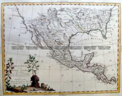
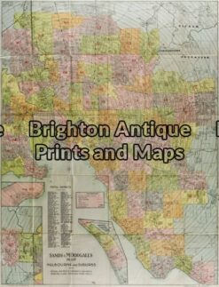
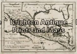
Antique Map 5-263 Mexico, Texas and Louisiana by Zatta c.1776
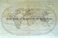
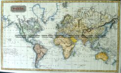
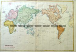
Antique Map 16-248 -World on Mercators Projection John Tallis – circa 1851 Outline colour steel engraving 32cm X 25cm Condition A+
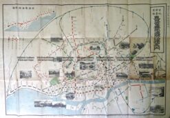
Antique Map 2-144 Tokyo suburban railway lines c.1912
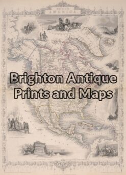
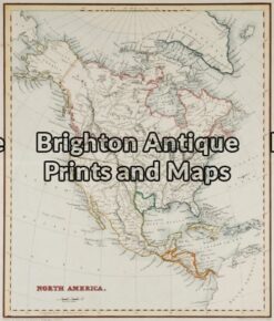
Antique Map 8-195 North America by Tallis circa 1851
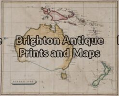
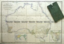
Antique Map 3-802 Australia by Arrowsmith
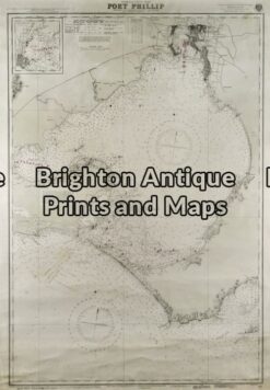
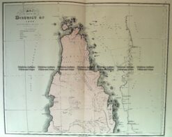
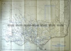
Antique Map 3-212 – Victoria – Port Phillip Navigation Chart – circa circa 1945 Steel engraving 65cm X 96cm Condition A+
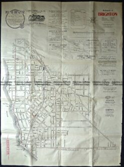
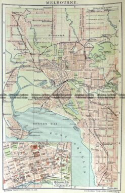
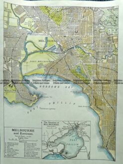
Antique Map 9-158 Melbourne Street Map – Brighton c.1920
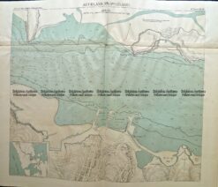
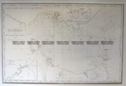
Antique Map 14-225 – Western Port and Cape Patterson Govt Printer – circa 1872 Chromolithograph 50cm X 40cm Condition A+
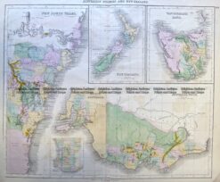
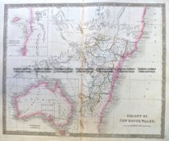
Antique Map 3-984 Australia & New Zealand c.1850
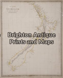
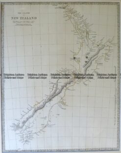
Antique Map 3-792 New Zealand by Walker circa 1844
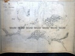
3-897 Victoria – Navigation Chart – Western Port c.1867 (1903)
Antique Map 3-959 Queensland – South East c.1886
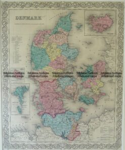
Antique Map 5-040 – Denmark Vander Aa – circa 1725 Copperplate engraving 36cm X 29cm Condition A+
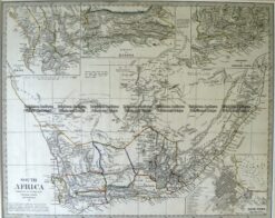
Antique Map 40-12 – Cape Colony – South Africa Tallis – circa 1851 Steel engraving 32cm X 24cm Condition A+
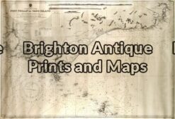
Antique Map 14-212 – Port Phillip – Navigation Chart – circa 1969 65cm X 96cm Condition B
Antique Map 3-994 Australia by S Hall c.1855
Antique Map 3-014 – Australia J Bartholomew – circa 1870 Chromolithograph 55cm X 42cm Condition A
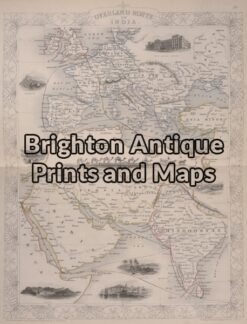
Antique Map 2-133 – India J Wyld – circa 1858 Hand coloured steel engraving 52cm X 75cm Condition A+
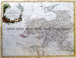
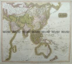
Antique Map 2-160 Tallis map of Asia
Antique Map 3-187 World by Teasdale c. 1847
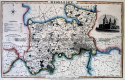
Antique Map 4-197 Middlesex England by I. Slater c.1846
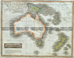
Antique Map 3-891 Australia and Pacific by Teesdale c.1837
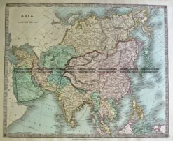
Antique Map 5-060 Asia by Teasdale c.1847
Antique Map 5-228 Russia – Volga River by Vander Aa c.1725
Antique Map 7-064 New Zealand by S.D.U.K. c.1844
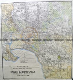
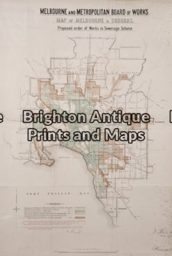
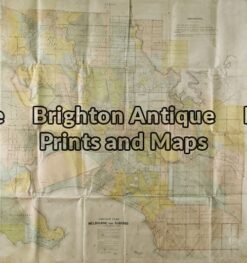
Antique Map 6-162 – Melbourne & Suburbs Sands & McDougall – circa 1930 Chromolithograph 74cm X 100cm Condition A+
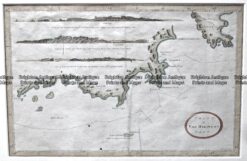
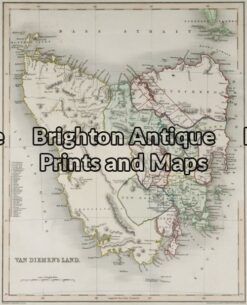
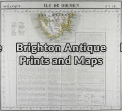
Antique Map 3-097 – Tasmania – South East Benard – circa 1777 Copperplate engraving 35cm x 22cm Condition A+
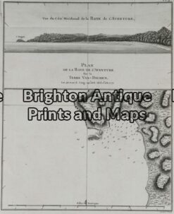
Antique Map 3-095 – Tasmania – Adventure Bay Benard – circa 1777 Copperplate engraving 20cm X 25cm Condition A+
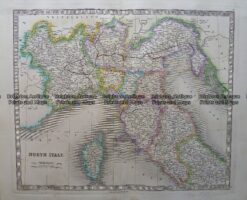
Antique Map 5-063 Italy – Northern by Teasdale c.1847
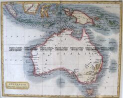
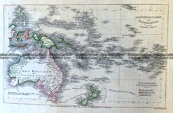
Antique Map 3-868 Australasia by S. Hall c.1816
Antique Map 3-864 Australia by Longman Rees c.1840
Antique Map 3-863 Australia circa 1849
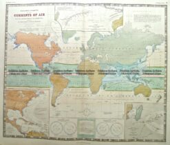
Antique Map 3-816 World with Currents of Air c.1850
Antique Map 14-203 – Victoria Picturesque Atlas – circa 1886 Chromolithograph 61cm C 37cm Condition A+
Antique Map 9-156 Melbourne street map by Sands & McDougall 1889
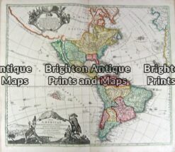
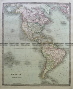
Antique Map 5-055 North & South America by Teasdale c.1844
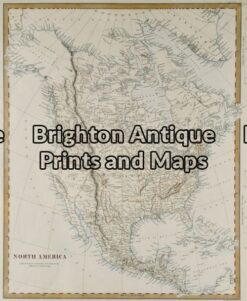
Antique Map 8-168 – North America A Findlay – circa 1840 Steel engraving 21cm X 26cm Condition A+
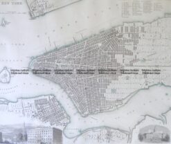
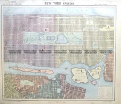
8-196 New York street map by S.D.U.K c.1844
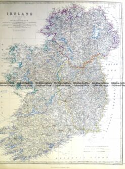
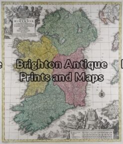
Antique Map 3-397 Ireland by Johnston c.1964
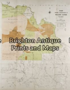
Antique Map 14-206 – Victoria – Mallee District Department of Lands & Survey – circa 1898 Hand coloured lithograph 61cm X 75cm Condition A+
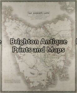
Antique Map 13-087 – Tasmania J Archer – circa 1841 Steel engraving 23cm X 29cm Condition A+
Antique Map 3-982 Australia by Archer c.1850
Antique Map 3-985 Australia by Archer c.1850
Antique Map 16-245 -Overland Route to India – John Tallis – circa 1851 – Outline colour steel engraving – 32cm X 25cm – Condition A+
Antique Map 8-170 – North America J & C Walker – circa 1843 Steel engraving 30cm X 38cm Condition A+
Antique Map 3-810 World by A. Findlay c.1830
Antique Map 14-213 – Victoria – Navigation Chart Port Phillip to Gabo Island Davies & Co – circa 1945 Lithograph 99cm X 67cm Condition A+
Antique Map 3-953 Queensland – northern Cape York c.1886
Antique Map 3-213 – Victoria -Port Phillip to Gabo Island Navigation Chart – circa 1945 Steel engraving 99cm X 67cm Condition A
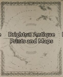
Antique Map 16-244 – Southern Hemisphere J Colton – circa 1855 Steel engraving 32cm X 39cm Condition A+
Antique Map 12-197 – South America – Colombia J Wyld – circa 1853 Hand coloured steel engraving 27cm X 22cm Condition A+
Antique Map 8-802 Washington D.C. street map c.1898
Antique Map 8-199 North America by S.D.U.K. c.1844
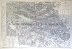
Antique Map 5-201 Panorama of Paris c.1874
Antique Map 9-828 Adelaide Street Map c.1883
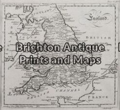
Antique Map 4-180 England Geological map by S.D.U.K. c.1844
Antique Map 4-970 Geelong Harbour Navigation Chart c.1934
Antique Map 2-131 – Asia – India J Wyld – circa 1853 Hand coloured steel engraving 22cm X 27cm Condition A+
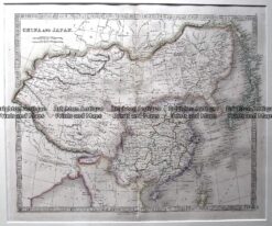
Antique Map 5-194 China and Japan by Teesdale c.1837
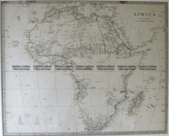
Antique Map 40-14 Africa by S.D.U.K. c.1844
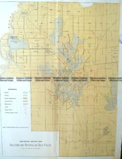
3-812 Victoria – Gold Field – Chiltern & Ruthglen c.1901
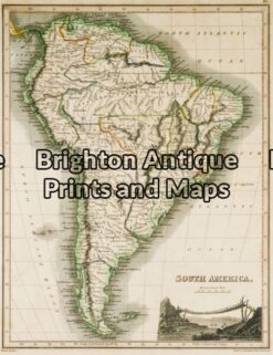
Antique Map 12-193 – South America J Thomson – circa 1820 Hand coloured steel engraving 22cm X 29cm Condition A+
Antique Map 14-332 – Yarra Valley – Yan Yean, Maroondah & OShannassy Ritchie – circa 1900 Lithograph 34cm X 25cm Condition A+
Antique Map 3-995 Australia by Virtue c.1840
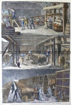
26-659 Greiffenhagen in Winery in Victoria c.1878
Antique Map 4-178 Edinburgh and vicinity by S.D.U.K. c.1844
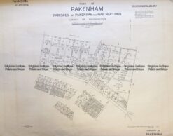
Antique Map 3-832 Melbourne – Street map of Pakenham c.1948
Antique Map 40-13 South Africa by S.D.U.K. c.1844
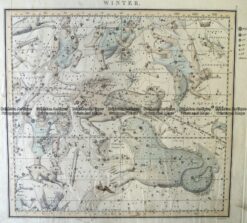
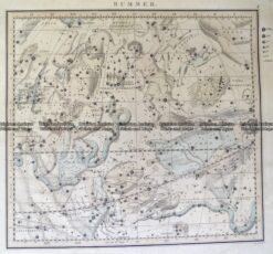
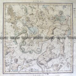
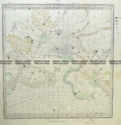
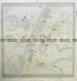
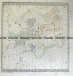
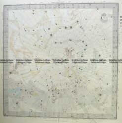
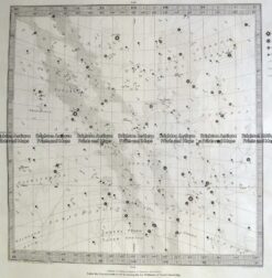
Antique Map 16-255 Celestial – Star system by Middleton c.1842
Antique Map 16-254 Celestial – Star system by Middleton c.1842
Antique Map 16-253 Celestial – Star system by Middleton c.1842
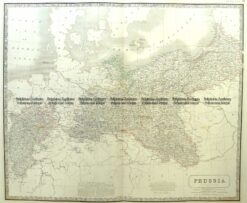
Antique Map 5-210 Germany – Prussia by A K Johnston c.1850
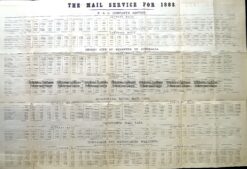
Antique Map 9-815 Shipping – Mail Service to Australia in 1883
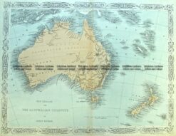
Antique Map 3-989 Australia and New Zealand by Hughes c.1860
Antique Map 2-109 – Asia A Bell – circa 1775 Copperplate 22cm X 17cm Condition A+
16-247 Celestial – Star system by S.D.U.K. c.1844
Antique Map 16-252 Celestial – Star system
Antique Map 16-251 Celestial – Star system by S.D.U.K. c.1844
Antique Map 16-250 Celestial – Star system by S.D.U.K. c.1844
Antique Map 16-249 Celestial – Star system by S.D.U.K. c.1844
Antique Map 16-248 Celestial – Star system by S.D.U.K. c.1844
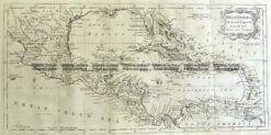
Antique Map 8-188 West Indies – Caribbean by Kitchen c.1771
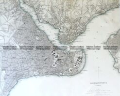
Antique Map 5-182 Constantinople Istanbul S.D.U.K
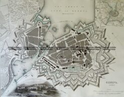
Antique Map 5-176 Geneva street map by S.D.U.K c.1844
Antique Map 5-165 Denmark by Colton circa 1855
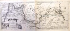
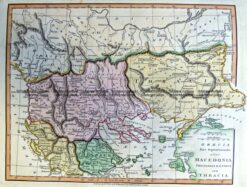
Antique Map 5-265 Macedonia in Ancient Times by Wilkinson c.1830
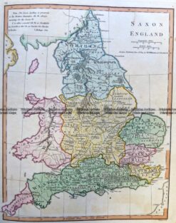
Antique Map 5-268 England in Saxon Times by Wilkinson c.1830
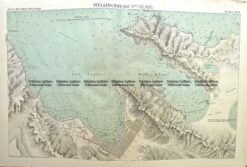
Antique Map 3-812 New Zealand – Port of Wellington
Antique Map 3-811 New Zealand – Port of Auckland
Antique Map 14-335 Victoria showing State Schools c.1893
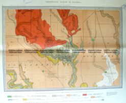
Antique Map 3-818 Victoria – Geological map of Broadmeadows c.1870
Antique Map 5-154 – Holland Anon – circa 1800
Antique Map 5-057 – Greece S Hall – circa 1860 Steel engraving 38cm X 26cm Condition A+
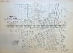
Antique Map 3-829 Victoria – Swan Hill in Parish of Castle Donnington c.1960
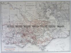
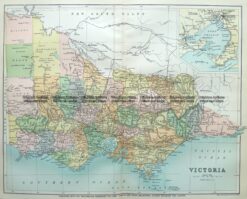
Antique Map 9-814 Victoria c.1896
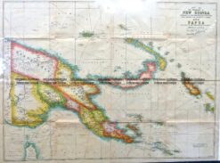
Antique Map 7-070 New Guinea c.1944
Antique Map 6-158 Melbourne street map c.1890
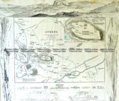
Antique Map 5-181 Athens Acropolis by S.D.U.K c.1844
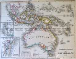
Antique Map 3-983 Australia by Radefield c.1845
Antique Map 16-245 Celestial – Star system by S.D.U.K c.1844
Antique Map 16-244 Celestial – Star systems c.1844
Antique Map 9-155 Melbourne street map c.1926
Antique Map 5-252 Russia in Asia – Uzbekistan by Perthes c.1865
Antique Map 5-251 -Russia in Asia – Kyrgyzstan by Perthes c.1858
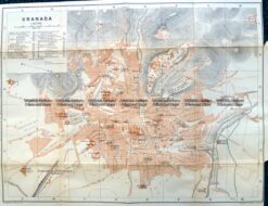
Antique Map 5-187 Spain – Granada street map by Wagner & Dubes c.1911
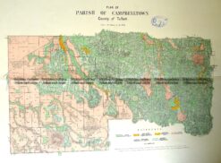
Antique Map 3-817 Victoria – Parish of Campbelltown c.1907
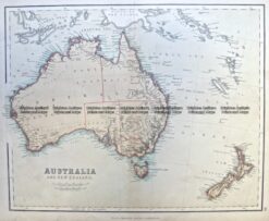
Antique Map 3-993 Australia & New Zealand by Chambers c.1860
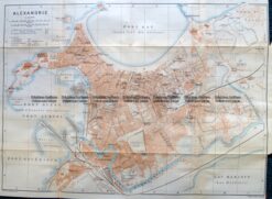
Antique Map 5-184 Egypt – Alexandria street map by Wagner & Debes c.1911
Antique Map 5-183 Egypt – Cairo street map by Wagner & Debes
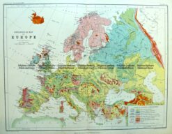
Antique Map 4-187 Europe Geological by Blackwood c.1890
Antique Map 7-069 New Guinea c.1881
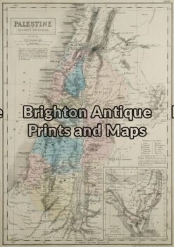
Antique Map 2-130 – Asia – Palestine S Hall – circa 1870 Steel engraving 26cm X 37cm Condition A+
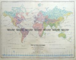
Antique Map 3-392 World – River Systems by Johnston c.1851
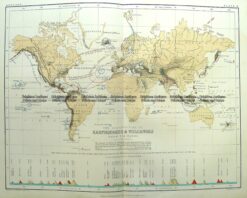
Antique Map 3-394 World – Earthquakes & Volcanoes by Johnston c.1851
Antique Map 3-088 – Tasmania J Sands – circa 1886 21cm X 28cm Chromolithograph Condition A+
Antique Map 3-071 – New South Wales W & AK Johnston circa 1890 Chromolithograph 26cm X 20cm Condition A
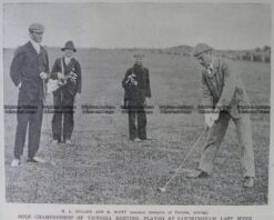
26-634 Golf at Royal Melbourne c.1909
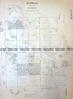
Antique Map 3-827 Victoria Berwick in County of Mornington c.1960
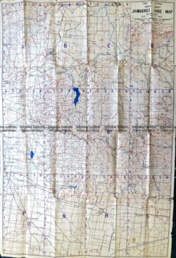
Antique Map 9-835 Scouts’ Jamboree Hike Map c.1935
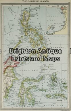
Antique Map 2-116 – Asia – Philippines G Philip – circa 1905 Chromolithograph 23cm X 35cm Condition A+
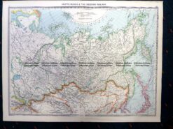
Antique Map 5-254 Russia in Asia by Philip c.1905
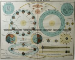
Antique Map 16-243 – Celestial – Sun and Earth – c. 1930
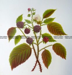
21-375 Botanical -Blackberry c.1870
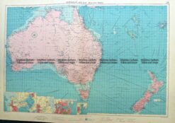
Antique Map 3-820 Ports of Australia and NZ by Fullard c.1959
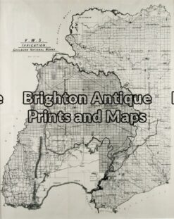
Antique Map 14-207 – Victoria – Grampians District Department of Lands & Survey Photo-lithography 43cm X 67cm Condition A+
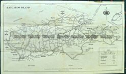
Antique Map 3-814 Kangaroo Island c.1970
Antique Map 3-309 Victoria – Korumburra & Leongatha area c.1931
test 29/10/12
Antique Map 16-249 – Southern Hemisphere and Northern Hemisphere – – Northern Hemisphere and Southern Hemisphere Two maps nicely framed (see previous item) John Thomson – circa 1816 Hand coloured steel engraving 50cm diameter Condition A+ $880 for pair of maps framed
Antique Map 16-247 -Western Hemisphere John Tallis – circa 1851 Outline colour steel engraving 32cm X 25cm Condition A+
Antique Map 3-814 World – Hemispheres and Poles by Huntington c.1830
Antique Map 3-812 World by Bartholomew c.1855
Antique Map 3-809 World in 1856 by Quin c.1856
Antique Map 3-808 World in 1783 by Quin c.1856
Antique Map 3-807 World in 1660 by Quin c.1856
Antique Map 3-387 World Tipus Orbis Terrarum by Solis c.1603
Antique Map 3-395 World – double hemisphere by H Moll c.1732
Antique Map 16-258 Eastern Hemisphere by Delisle c.1724
Antique Map 16-255 -World Moll/Wright – circa 1725 Copperplate engraving 95cm X 58cm Condition A+
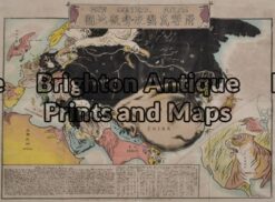
Antique Map 16-256 -World Curiosity in Japanese Countries are represented by animals and birds In Japanese language Early 20th century Chromolithograph 60cm X 45cm Condition A
Antique Map 16-252 -Terrarum Orbis (double hemisphere world map) Carel Allard – circa 1696 Hand colour copperplate engraving 59cm X 52cm Condition A+
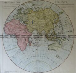
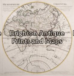
Antique Map 16-251 -Hemisphere Orienta l (Eastern Hemisphere) Delisle/Buache – circa 1760 Outline colour copperplate engraving 50 cm diameter Condition A+
Antique Map 16-254 -Du Globe Terrestre (World) Bellin, J – circa 1748 (1780) Habd coloured copperplate engraving 70cm X 50cm Condition A+
Antique Map 16-233 – World Neale – circa 1810 Hand coloured steel engraving 37cm X 24cm Condition B
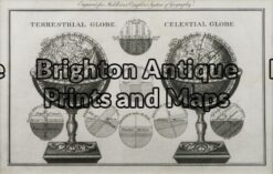
Antique Map 16-226 – World – Terrestrial & Celestial Globes Bankes – circa 1800 Copperplate 27cm X 16cm Condition A+
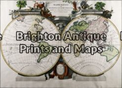
Antique Map 16-224 – World – Mappe Monde Janvier – circa – circa 1762 Hand coloured copperplate engraving 65cm X 47cm Condition A+
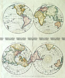
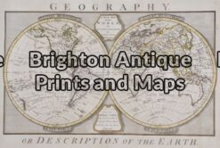
Antique Map 16-253 – Description of the Earth – Dunn, Samuel – circa1788 – Copperplate engraving – 50cm X 43cm – Condition A+
Antique Map 0 We have several other maps of
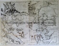
Antique Map 8-190 – North America – Texas & Mexico N de Fer – circa 1705 Copperplate engraving 26cm X 18cm Condition A+
Antique Map 8-200 New York – Central Manhattan by Letts c.1883
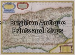
Antique Map 5-192 Turkey and Gallipoli by Coronelli c.1694
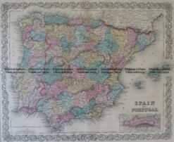
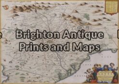
Antique Map 5-160 Spain and Portugal by Colton circa 1855
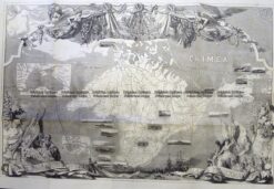
Antique Map 5-230 Russia – Crimea c.1854
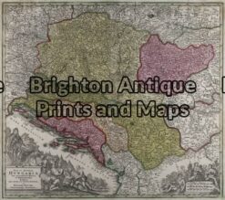
Antique Map 5-048 – Hungary & Vicinity Lotter – circa 1750 Hand coloured copperplate engraving 50cm X 36cm Condition
Antique Map 5-159 – Venice region Jansson – circa 1670 Hand coloured copperplate engraving 47cm X 36cm Condition A+
Antique Map 5-160 – Rome region Jansson – circa 1670 Hand coloured copperplate engraving 47cm X 36cm Condition A+
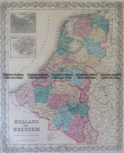
Antique Map 5-166 Holland and Belgium by Colton circa 1855
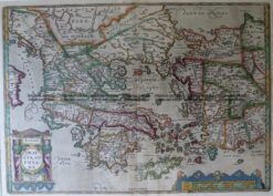
Antique Map 5-191 Greece by Ortelius c.1579
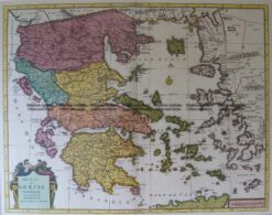
Antique Map 5-190 Greece by Covens & Mortier c.1725
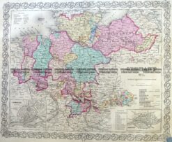
Antique Map 5-217 Germany – Northern by Colton c.1855
Antique Map 5-256 Paris street map by Letts c.1883
Antique Map 5-058 – France S Hall – circa 1860 Steel engraving 38cm X 26cm Condition A+
Antique Map 5-030 – Mediterranean Sea Thomson – circa 1817 Outline colour engraving 60cm X 49cm Condition B+
Antique Map 5-026 – Europe J Wyld – circa 1820 Hand coloured steel engraving 29cm X 22cm Condition A+
Antique Map 5-034 – Ireland T Lotter – circa 1740 Hand coloured copperplate engraving 50cm X 58cm Condition A+
Antique Map 4-188 London Street Map by Letts c. 1883
Antique Map 5-031 – England A Ball – circa 1773 Copperplate engraving Condition A+
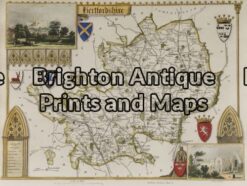
Antique Map 5-147 – England – Hertfordshire Moule – circa 1840 Hand coloured steel engraving 25cm X 19cm Condition A+
Antique Map 4-165 – Wales Jansson – circa 1677 Hand coloured copperplate engraving 45cm X 35cm Condition A+
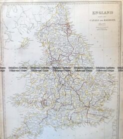
Antique Map 4-168 England and Wales c.1844
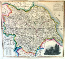
Antique Map 4-196 Yorkshire England by I. Slater c.1846
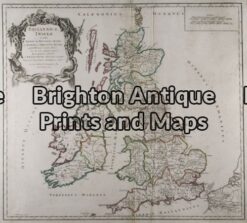
Antique Map 5-032 – United Kingdom – Britannicae Insule de Vaugondy – circa 1757 Outline colour copperplate engraving 53cm X 49cm Condition A
Antique Map 4-142 – England (LAngleterre) Dufour – circa 1856 Steel engraving 75cm X 55cm Condition A+
Antique Map 4-032 – Britannicae Insule de Vaugondy – circa 1757 Copperplate engraving 53cm X49cm Condition A
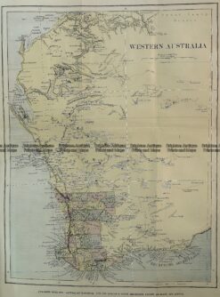
Antique Map 15-115 Western Australia c1880
Antique Map 15-103 – Western Australia E Stanford – circa 1894 Chromolithograph 51cm X 63cm Condition A+
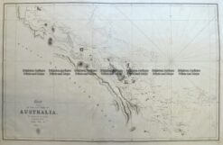
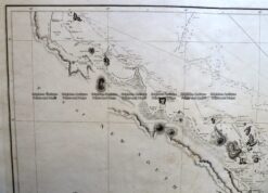
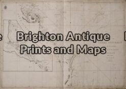
Antique Map 3-820 Flinders map of west coast of Carpentaria circa 1814
Parish maps of Victoria – sorted by County
Antique Map 3-826 Victoria – Ballarat street map c.1932
Antique Map 14-333 Gold Field Creswick c.1880
Antique Map 14-332 Gold Field – Clunes c.1883
Antique Map 9-145 Port Phillip and Melbourne by Arrowsmith c.1841
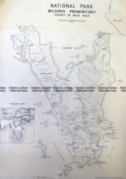
Antique Map 3-331 Wilson’s Promontory National Park c.1930
Antique Map 3-307 Victoria – Anglesea area c.1926
Antique Map 3-305 Victoria – Alberton region military map c.1942
Antique Map 3-528 Flinders chart of Victoria coast c.1814
Antique Map 3-897 Victoria – Navigation Chart – Western Port c.1867 (1903)
Antique Map 3-822 Victoria – showing butter factories c.1905
Antique Map 14-337 Victoria – Bass Strait by Freycinet c.1811 (1812)
Antique Map 14-204 – Victoria & Bass Strait Vandermaelen – circa 1827 Hand coloured steel engraving 56cm X 47cm Condition A+
Antique Map 14-208 – Victoria – Western coastline Vandermaelen – circa 1827 Hand coloured engraving 57cm X 48cm Condition A+
14-209 – Victoria – Shepparton district Anon – circa 1890 Lithograph 40cm X 50cm Condition A+
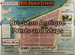
14-214 – Victoria – Rye Beach Estate Real Estate sub-division Robert Harding – circa 1910 – 1920 97cm X 75cm Condition A+
Antique Map 14-210 – Victoria – Portland district Admiralty Chart – circa 1835 Steel engraving 46cm X 63cm Condition A+
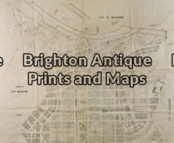
Antique Map 14-227 – Melbourne CBD – Yarra River Proposed improvements to docks Goode – circa 1879 Lithograph 120cm X 50cm Condition A+
Antique Map 14-223 – Melbourne and Suburbs Anon – circa 1896 Chromolithograph 40cm X 60cm Condition A (tear left side)
Antique Map 14-228 – Melbourne and Suburbs Anon – circa 1887 Hand coloured lithograph 95cm X 100cm Condition A
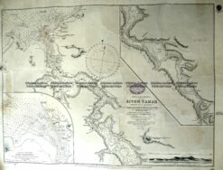
Antique Map 13-98 Tasmania – Navigation Chart – River Tamar c.1881 (1897)
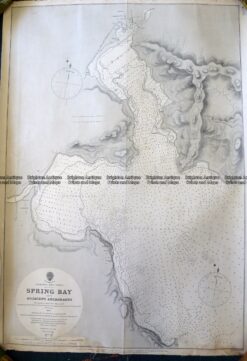
Antique Map 13-97 Tasmania – Navigation Chart – Spring Bay c.1885
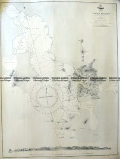
Antique Map 13-96 Tasmania – Navigation Chart of Port Davey c.1852 (1903)
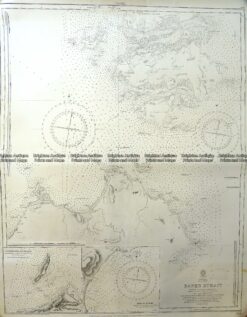
Antique Map 13-95 Tasmania – Navigation Chart of Banks Strait c.1878 (1921)
13-094 – Tasmania Vandermaelen – circa 1827 Hand coloured steel engraving 53cm X 48cm Condition A+
13-091 – Tasmania Johnston – circa 1845 Steel engraving 49cm X 59cm Condition A+
Antique Map 13-095 – Tasmania – Adventure Bay Benard – circa 1774 Copperplate engraving 20cm X 25cm Condition A+
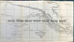
Antique Map 3-899 Coast of Queensland by Flinders & Phillip King Admiralty… circa 1824
Antique Map 3-818 Coast of Queensland by Flinders Admiralty Chart 1814
Antique Map We have many maps of Queensland. Please contact us for details.
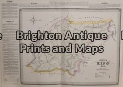
Antique Map 3-810 County of King by Basch circa 1872
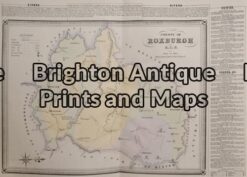
Antique Map 3-808 County of Roxburgh by Basch circa 1872
Antique Map 3-805 Map of County of Cumberland by Basch circa 1872
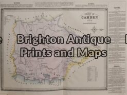
Antique Map 3-806 County of Camden NSW by Basch circa 1872
Antique Map 3-807
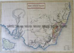
Antique Map 3-862 New South Wales by Tallis circa 1851
Antique Map 9-072 – Sydney Sydney Morning Herald – circa 1938 Offset printing 59cm X 47cm Condition A+ – –
Antique Map 9-154 Melbourne and inner suburbs c.1934
Antique Map 29-494 Melbourne Street Map by John Power c.1935
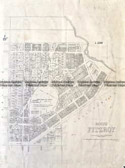
Antique Map 29-493 Fitzroy North c.1882
Antique Map 6-159 – South Melbourne Anon – circa 1940 Lithograph 99cm X 80cm Condition A+
Antique Map 6-154 – Melbourne and Suburbs Sands & McDougall – circa 1887 Hand coloured lithograph 95cm X 100cm Condition A+
Antique Map 6-157 – Melbourne – Inner suburbs Anon c1929 Off-set printing 65cm X 46cm Condition A+
Antique Map 15-098 Western Australia by Tallis
Antique Map 11-075 South Australia by Tallis
Antique Map 14-201 Victoria or Port Phillip by John Tallis
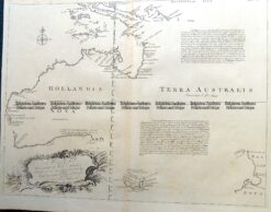
Antique Map 3-896 Australia and Pacific c.1773
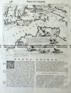
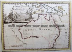
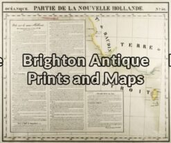
Antique Map 3-520 Australia – Nuova Guinea by Coronelli c.1696
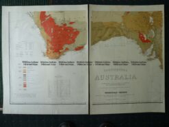
Antique Map 9-971 Geological map of Australia by Everett c.1887
Antique Map 3-811 Victoria- Western Port by Govt. Printer circa 1872
Antique Map 3-870 New South Wales and South Australia c.1845
Antique Map 3-866 Australia by C G Reichard c. 1816
Antique Map 3-765 Polynesia by Tallis
Antique Map 9-972 Australia by Wyld c.1843
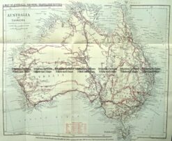
Antique Map 9-974 Australia – tracks of explorers c.1880
Antique Map 3-986 Australia by Archer c.1830
Antique Map 3-992 Australia and New Zealand by Smith c.1835
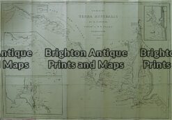
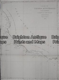
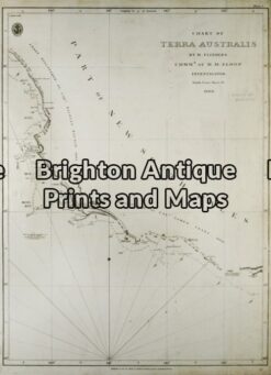
Antique Map 3-527 Flinders Chart of Terra Australis or Australia c.1814
Antique Map 3-899 Australia – Nuova Olanda by Cassini c.1798
Antique Map 3-865 Australia Indiai Szigettenger c.1835
Antique Map 3-805 County of Cumberland NSW by Basch circa 1872
Antique Map 3-817 County of Anglesey in Victoria by Hiscock circa 1874
Antique Map 3-815 Suburbs in Melbourne
Antique Map 3-814 Melbourne and Suburbs circa 1887
Antique Map 8-813 Proposed improvements in River Yarra by Coode circa 1879
Antique Map 3-819 Map of Melbourne and Suburbs circa 1896
Antique Map 3-808
Antique Map 3-807 County of Cook by Basch circa 1872
Antique Map 3-803 Australia by Djurberg
Antique Map 3-800 Australia and East Indies by Johnson
Antique Map 3-798 Australia by Reinecke
Antique Map 3-797 Australia and the Pacific by Ottens
Antique Map 3-791 Cook discoveries in Australia
Antique Map 3-790 Australia by Wilkinson
Antique Map 3-789 Australia by Wilkinson
Antique Map 3-786 Australia by Bellin (German edition)
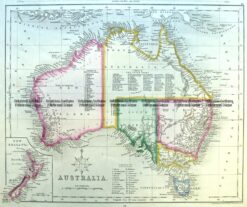
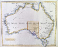
Antique Map 3-100 – Australia circa 1875 Hand coloured steel engraving 39cm X 32cm Condition A+
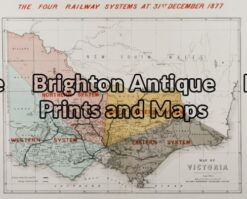
Antique Map 3-202 – Victoria Railway System Anon. – circa 1878 Chomolithograph 32cm X 24cm Condition A+
Antique Map 3-208 – Victoria – West Coastline Vandermaelen – circa 1827 Hand coloured steel engraving 57cm X 48cm Condition A+
Antique Map 3-209 – Victoria – Shepparton and vicinity Anon – circa 1890 Lithograph 40cm X 50cm Condition A+
Antique Map 3-214 – Victoria – Rye Beach Estate Real Estate sub-division map circ 1910 – 20 Robert Harding Chromolithograph 97cm X 75cm Condition A
Antique Map 3-210 – Victoria – Portland & Port Fairy area Admiralty Chart – circa 1835 Steel engraving 46cm X 63cm Condition A+
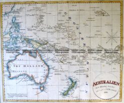
Antique Map 3-015 – Australien Krusenstern – circa 1847 Hand coloured steel engraving 38cm X 30cm Condition A+
Antique Map 3-019 – Australia W Lizars – circa 1830 Hand coloured steel engraving 48cm X 42cm Condition A+
Antique Map 3-018 – Australia J Migeon – circa 1874 Hand coloured steel engraving 37cm X 27cm Condition B
Antique Map 3-002 – Australia J Colton – circa 1865 Hand coloured steel engraving 25cm X 30cm Condition A+
Antique Map 3-10 – Australia – Oceanie J Migeon – circa 1870 Hand coloured steel engraving 37cm X 28 cm Condition A+
Antique Map 3-022 – Australia – East Coast of Australia from Cooks first voyage Dutch edition van Baasel – circa 1774 Copperplate engraving with outline colour 78cm X 36cm Condition A+
Antique Map 2-157 Tallis map of Indonesia and S. E. Asia
Antique Map 2-135 – South East Asia – Isole dell India Rossi, Giacomo de – circa 1683 Copperplate engraving 57cm X 45cm Condition A+
Antique Map 5-260 Turkey in Asia by Zatta c.1785
Antique Map 2-140 – Tokyo – Japanese street map Anon – circa 1890 Wood block 60cm X 50cm Condition A+
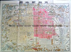
Antique Map 2-143 Kyoto street map c.1900
Antique Map 2-120 – Asia – Japan and Korea J Bellin – circa 1753 Hand coloured copperplate engraving 29cm X 21cm Condition A+
Antique Map 2-149 Indiae Orientalis by Visscher c.1680
Antique Map 2-162 Asia by Thomson c.1813
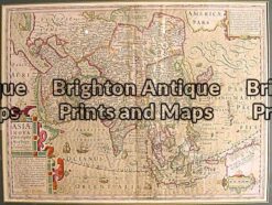
Antique Map 2-130 – Asiae Nova Descriptio Auctore Jodocus Hondius – circa 1606 – Hand-coloured copperplate engraving – Size: 37cm x 50cm – Condition: A+
Antique Map 40-05 – Africa – Madagascar Vander Aa – circa 1735 Copperplate egraving 37cm X 29cm Condition A+
Antique Map 40-00 – Please contact us for a listing of our maps of Africa.